Mount Pisgah, Polk County AVA
Complex. Expressive. Idyllic.
Key statistics
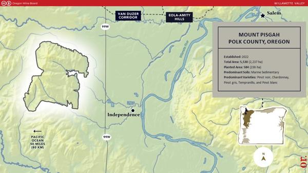
2022
584 acres (236 ha)
Marine sedimentary

Characteristics
About the region
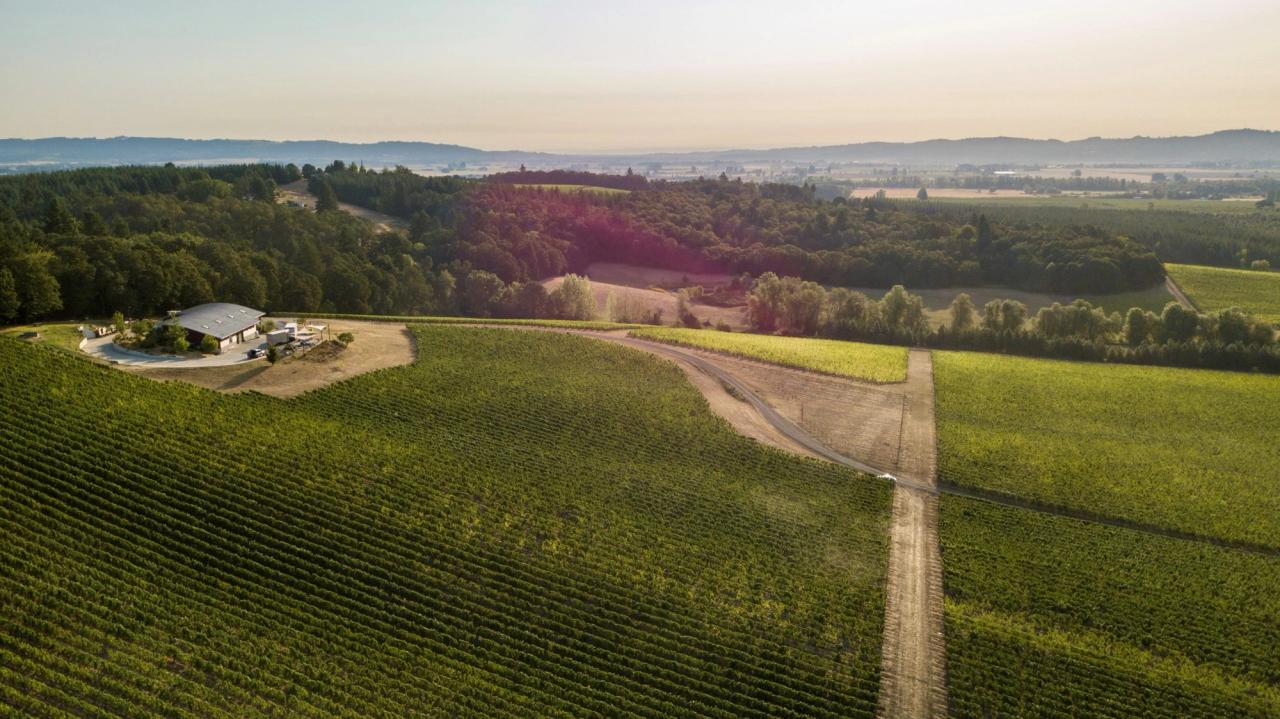
The mountain was formed 65 million years ago as a sea floor volcano and has since been covered by marine sediment and pushed up out of the ocean’s floor. This unique geology allows the grapes to develop a deep complexity in their shallow soils.
The mountain is defined by elevation around the peak. Its lowest point is 260 feet and the top is 835 feet above sea level. Mount Pisgah is only six miles from the Willamette River, making it a generally warm site compared to sites of higher elevation or sites farther from the river. Compared to the main weather stations in Salem and McMinnville, however, the climate is warmer in the winter and slightly cooler in the summer.
The planted soils are mostly Willakenzie, Bellpine, and Jory, with some Nekia. The parent material is Siletz Rock, the oldest rock formation in the Willamette Valley. The unique soils and lack of strong winds define the quality of the grapes. Shallow soils promote berry development, the water holding capacity of the clay enables little or no irrigation, and lack of wind reduces transpiration, assisting the systematic health of the vine.

