Lower Long Tom AVA
Simple. Outstanding. Passionate.
Key statistics
2021
575 acres
Bellpine and Bellpine-Jory

Characteristics
About the region
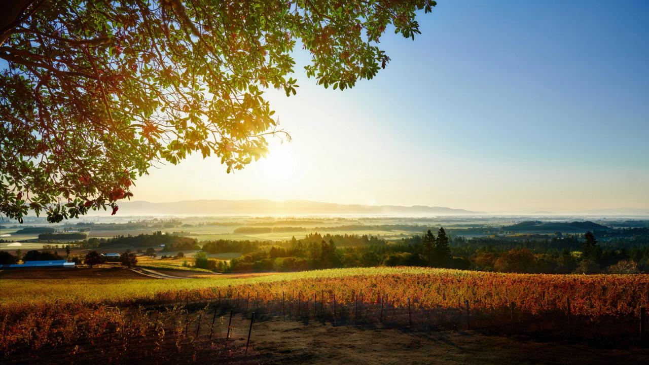
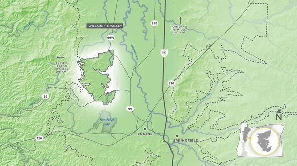
Located between Eugene and Corvallis and tucked into the coastal foothills, the Lower Long Tom AVA derives its name from its position within the west side of the Long Tom watershed.
Vineyards are located on stream-cut ridge lines running east to west, with the predominant soil type being Bellpine. These soils are clay-loams formed from up-lifted ancient marine sediments, primarily sandstone and are typically shallow, with grapevine roots having to penetrate the sandstone below to find water and nutrients.
To the west, the area is flanked by the significantly higher elevations of the Coast Range which serve to form a weather shield. The rain shadow effect of the higher peaks to the west reduces precipitation; this combined with the prevailing winds, creates a microclimate with reduced disease pressure during the growing season and consistent fruit maturity, even in more difficult vintages.
The weather pattern, combined with Bellpine soils, tends to grow vines with a more open canopy. The open vine structure results in more light and air exposure to clusters with smaller berries, increasing fruit intensity and skin structure.

